
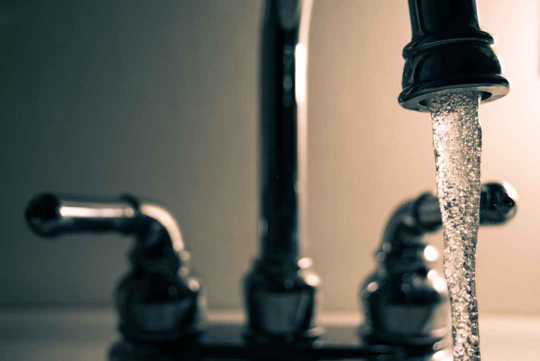
In the fall of 2021, residents of Jordan River, Shirley & Otter Point were asked about water conditions for their home. The survey asked questions on water source(s), water uses, how things have changed over the years and if residents are prepared in case of a summer drought.
The results were interesting when compared with previous surveys from 2013 and 2014.
Based on the results, reliable water is a growing concern in the region, but more scientific data is required to provide clear certainty of a clean safe drinking supply for the population.
Recommendations from the survey:
- At least one well monitor on each aquifer in the Otter Point to Jordan River Region
- Incentives/training to put in place rainwater catchment system on new and existing homes
- Assessment of new developments based on available water in the region
To see the survey in full click here.


Many thanks for the survey results. Always interesting to see changes happening. Glad to say I survived the drought with my very shallow well; though one neighbour (with another shallow well) did say his pump was sucking air at one point, I did not suffer from that. I did try a few newish ways to cut down on use (somewhat more difficult when one has visitors, though they did try to follow guidelines!). Best wishes Lesley Douch
LikeLike
Thanks Lesley, What area do you live in? Have you looked at the BC Wells and Aquifer website to find your well? and those around you? Tons of information on registered wells in our area. Thanks **Chris Moss
LikeLike
Hello,I am a resident of Otter Point.Last Friday I walked in the forest are around The Malahat Farm.A Canfor truck was parked in there and a crew was flagging fall lines for logging the entire area.With the destruction already in the rest of the watershed,the damage to our salmon and orca populations is horrendous.Have sent letters out to many entities to try to stop it.Maybe there is something you can do.
LikeLike
Hi Rudy, Chris and Lynn Moss here from OPSRRA and 606 Water Group. We live on the other side of Tugwell Creek and are well aware of the logging which is going on off Anderson Road. Yes, many of us tried to have the forest company slow down the logging and do selective logging, but to no avail, They have been granted the rights to the land by the BC government and it is being cut down, probably for the second or third time since old growth times. If you use google Earth on this part of the island and use the historical timeline you can clearly see from 1999 to 2020 the vast amount of logging and disruption in the JdF rural territory. But other than stunned sadness this is what the current logging practices allow and no one will stop it as long as it makes a profit. Monocropping one type of tree is not a good idea either for the health of the watersheds and the aquifers under them.
The 606 Water Group is newer than OPSRRA and we aim to educate people in all things water. Our website might interest you 606Water.ca with lots of information and links. I Write the column “The Rain Gauge” for Transition Sooke and our website has an archive of all 25. If you are in Otter Point then you are probably on a well which is sucking water from one of the underground aquifers. If your well is registered with “Front Counter” Naniamo then you can search for well and reveal a mass of information about it. If you still have questions please use info@opsrra.ca to get to me as I check that one every day. Thanks
Chris Moss president@opsrra.ca
LikeLike