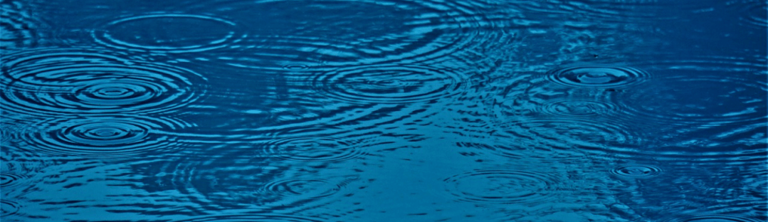
Stewardship
The CRD region is comprised of over 300 watersheds which are over 100 hectares in size, as well as numerous smaller named and un-named watersheds. A watershed is the area of land which drains water into a creek, stream or river system. Some are large like the watershed for Sooke Lake. Some are very small. As you head up the coast past King Creek, Tugwell, Muir, Kirby to the smaller ones which are not even named but sit like narrow fingers on the edge of the land. During rainfall events all of these watersheds catch and drain water and send it downhill, usually to the ocean. If the rain comes quickly the water will overwhelm the ability of the ground to soak in and hold onto that water. Water will flow rapidly over the surface eroding the topsoil and sending it quickly to the ocean.
Natural dams and lakes act as buffers to this quick diversion of water, slowing down and holding it on the land. Artificial dams and reservoirs found at Sooke Lake and Goldstream also stop and hold the water for later use. They can also prevent sudden flooding events. Or in the case of the Jordan River Dam the dam provides backup electricity for the island. On the other hand, if they are filled to 100% at the time of the rainfall, the excess water will flow over the dam and down to the ocean. The watershed for the CRD drinking water at Sooke Lake is the only watershed in Canada which bans all entry to the watershed land area. It is therefore well protected from outside contamination. No other area on the south island is so protected. In general we must watch carefully where we place developments such as roads, housing and farming so that contamination of surface water is avoided.
Salt Spring Island has a well developed team of volunteers that monitor the watersheds and streams of their community. They also have a community well monitoring program of which this column will talk in the future. Peninsula Streams and Shorelines Stewardship Programs have been operating since 2002 in 13 of the watersheds in Greater Victoria. Their volunteers work with anglers to monitor and improve the watershed and stream systems all over the GVRD. From their webpage: “The objectives of these collaborative partnerships are to : educate the public about the importance of watershed resources, to facilitate communication and cooperation in watershed management and to provide volunteers with the training required to protect and restore aquatic and riparian habitat.”. In addition “Our dedicated stewards are also the “eyes and ears” of local watershed conservation , monitoring stream conditions, counting salmon and alerting authorities when there are problems with local streams.”
To my knowledge the CRD west of Sooke does not have a coordinated Volunteer group like this to monitor the many streams and watersheds that exist on our coast. Baseline information is important on all watershed areas, not just on fishery streams. This data will show us the changes being made by the climate. When does the stream stop flowing in the summer? When does it start in the fall? What is the impact on water flow, habitat and animals? What is the health of the stream? The answers to these and many other questions will help us to manage the use of watersheds and keep them in healthy operation during the coming decades. We need to enlist residents to become watershed stewards. Adopt a local watershed to monitor. If we have volunteers we can get funding to train them to access the health of watersheds and over time we will build a database of information to help us keep watch on the health of our land. Contact president@opsrra.ca if you’d be interested in being a local watershed monitor.
For the full series of “The Rain Gauge” simply click on 606water.ca.
Chris Moss is an Otter Point resident
